Site
Surveying
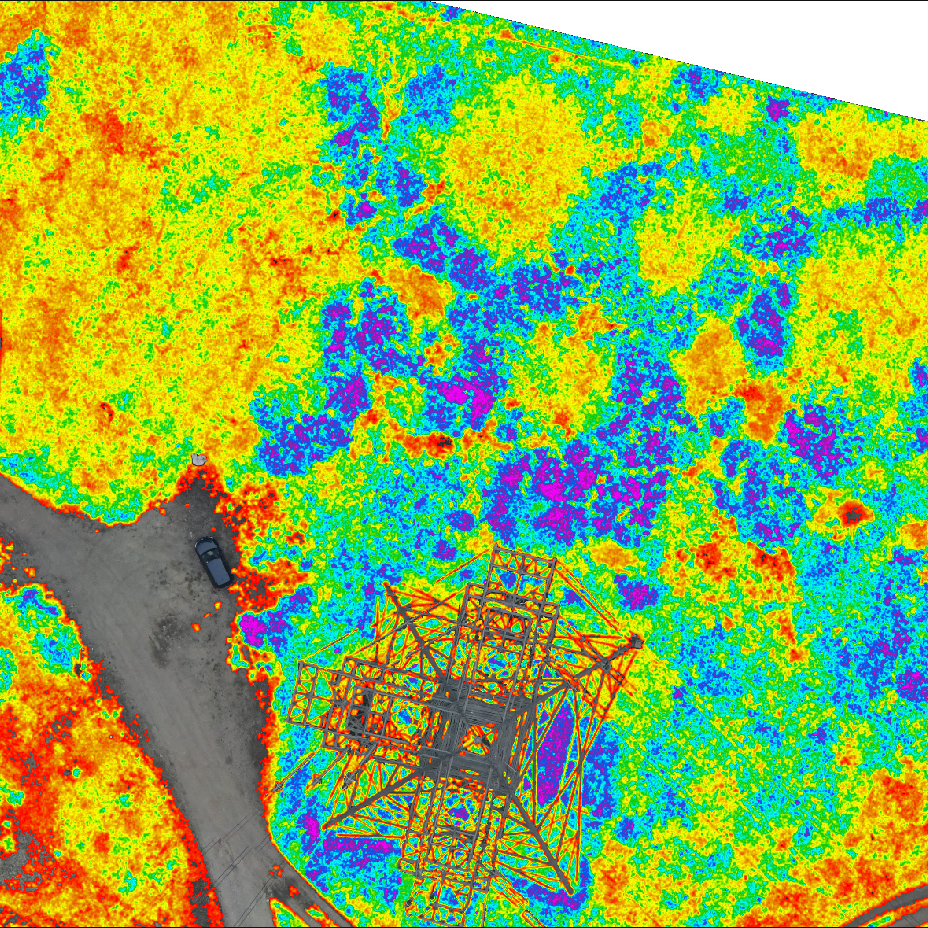
Utilising multispectral, hyperspectral and thermal sensors attached to fixed wing plane, helicopter or UAV / Drone, we can acquire precise information and data for your tree and vegetation assets and their health.
Read more
Data Analysis &
Recommendations
Providing information on species / populations and change over time, their impacts on infrastructure and the environment.
Read more
Data
Management
Airborne surveying generates large amounts of data. We are able to import our geospatial datasets into ArborTrack Tree Asset Management software.
Read more
Remedial Works
Services
We can offer our clients a “One Stop Shop”, from Policy Setting, Airborne Surveying and Analysis to carrying out the recommended remedial works.
Read more
Objective
Planning
We can assist in the production of tree management strategies for 3, 5, 10 years or more depending on your individual Organisation’s requirements.
Read more